On a June 17...
Friday, June 17, 2011 - Rougemont FD chief's birthday
A surprise party was organized for the birthday of Rougemont FD's fire chief.
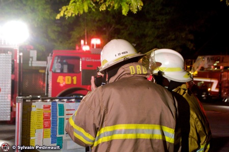
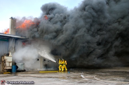
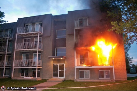
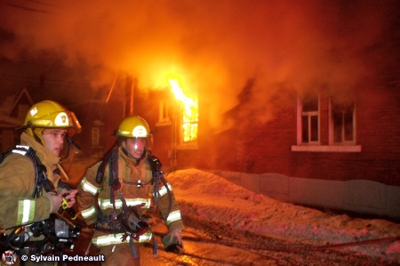
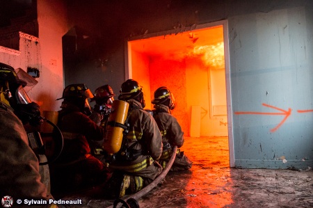
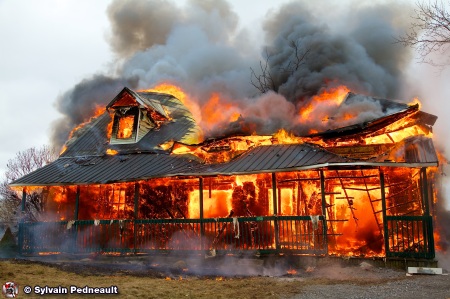
Wednesday, June 17, 2009 - Residential fire in St.Hyacinthe
The St.Hyacinthe City Fire Department deployed numerous resources on the site of a house fire. Thankfully, the fire was under control very quickly.
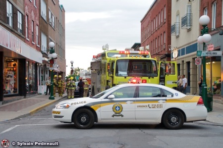
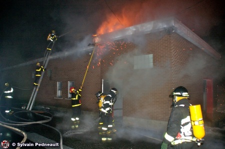
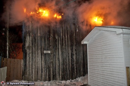
Tuesday, June 17, 2008 - Smoke downtown
The fire department quickly recalled the city's three fire stations when a call came in for an odor of smoke coming from an appartment in a particularly high-risk sector of St.Hyacinthe....
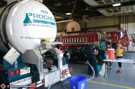
Sunday, June 17, 2007 - Major water shortage in Monteregie
A major electrical problem at the Vallée-du-Richelieu Inter-city Water Management caused an critical shortage of water for multiple cities. Firefighters are particularly involved during...
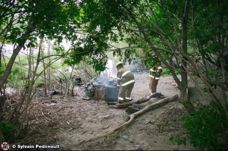
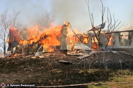
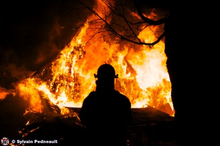
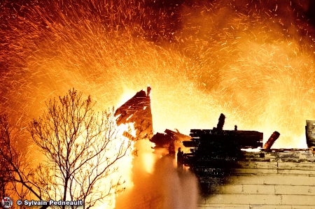
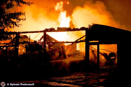
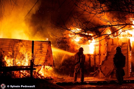
Saturday, June 17, 2006 - Fire on the river shore
Firefighters were called on the Yamaska river shore for fire of unknown origin. Arrived on scene, firefighters discovered a rocky fire place where wood was still burning.
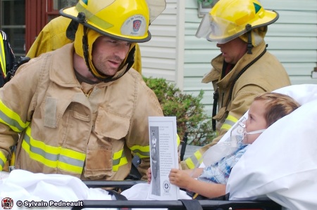
Saturday, June 17, 2006 - A small boy and a tractor
A very couragous small boy had a difficult experience when a piece of metal on a lawn tractor pierced his foot and kept him stuck for some time. St. Hyacinthe's extrication unit,...